Hammermill Wreck
Shipwreck: #126125
Wreck Location: 42 14.456N, 79 56.004W
0.069 miles at 172 degree T off Erie Harbor Pierhead Light
Wreck Location: 42 14.456N, 79 56.004W
0.069 miles at 172 degree T off Erie Harbor Pierhead Light
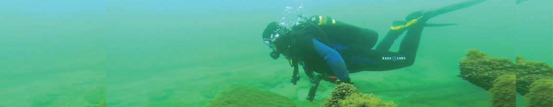
This broken up and partially burned shipwreck is located south of the Lampe Marina. Since directions to the site include “going across the large rock” one would guess that this would be a shore dive. If you do choose to take a boat be sure it has a very shallow draft. The intake crib to the west of the site has only one foot of water over it, and their is a submerged pier to the east. This wreck is named for the Hammermill Paper Plant located approximately one half mile to the east of the site. 1. Wachter, Georgann & Michael. 2003. ERIE WRECKS EAST, 2nd edition. Portland/Impact, Avon Lake Ohio.
The Shipwreck Today: